Programme: Seventh Framework Programme (Project: 612096)
Date: 2014-2016
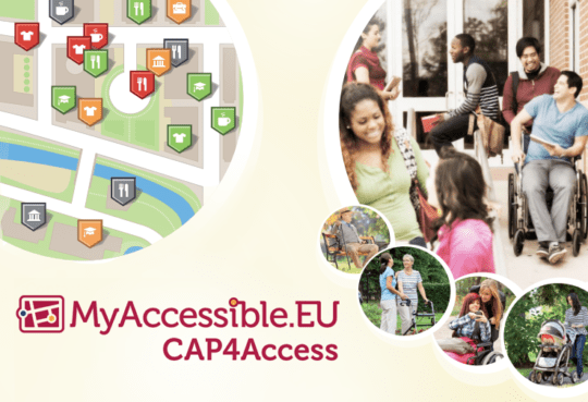
The objective of CAP4Access is to develop and pilot-test methods and tools for collectively gathering and sharing information about accessibility of public spaces. Our tasks:
- Documentation, annotation and discussion of places and routes about their accessibility.
- Visualising the data in ways which are intuitive and highly attractive for target users.
- Route planning and navigation.
- Creating awareness and preparing effective measures for eliminating barriers.
Applications will be based on OpenStreetMap, the “Free Wiki World Map”. We will make best use of established practice, in particular Wheelmap. All newly developed tools will be available for interested parties – such as city administrations – as open software under the GNU Lesser General Public License (LGPL). Our four test sites are in Vienna (Austria), London (United Kingdom), Elche (Spain) and Heidelberg (Germany).